
A wish, and a condition
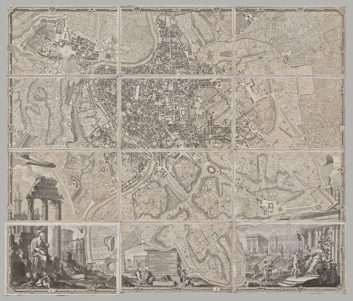
A collector wrote to us with a long-held wish. He wanted to own the map of Rome that Giambattista Nolli published in 1748, the Pianta Grande di Roma, and he had one condition: the print had to be made at the highest possible resolution, because only then can you make out every detail that Nolli put into it. He did not want to settle for less.
The map is not in our catalogue. It was a commission, made for one customer from an original, and the way we went about it is the way we go about any plate you cannot find on the site. First, though, the map.
Twelve copper plates, 176 by 208 centimetres
Nolli’s map of 1748 is regarded as one of the most important documents of the city ever made. It was engraved on twelve copper plates which together measure 176 by 208 centimetres (69 by 82 inches). Nolli began surveying Rome in 1736 and the map was engraved in 1748, and it was by far the most accurate and detailed description of the city to that date.

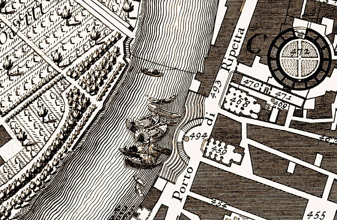
Giambattista Nolli, also called Giovanni Battista (1701 to 1756), was an Italian architect and surveyor. He set out to represent the whole city in one consistent way, as an urban fabric rather than a collection of monuments, and he used cartographic symbols that anyone could read: signs for drains, soldiers’ billets and cemeteries, and small pictures for river craft, ferry boats, cargo boats and watermills. Buildings are shown dark and open ground white, and the interiors of churches and courtyards are drawn as open space, so that the map reads as a plan of where a Roman could walk.
How the map was printed
We were able to supply the map in its twelve parts, one print for each of Nolli’s plates, and with a good deal of patience our customer assembled them himself. To keep the detail, each sheet had to be printed at the highest possible resolution: glazed and framed, the giclée had to be indistinguishable from the original to the naked eye. He had made that very clear, and it was the right demand.
Re-Art Special Art Productions in Almere, who make all our prints, printed the twelve sheets on acid-free white etching paper of 270 g/m² with archival inks, so that they last more than 100 years under good conditions: out of direct sunlight, away from damp, framed with acid-free materials. Our customer was very happy with the result. How a facsimile is made.
How to ask for a plate that is not on the site
We hold master files of more plates than the site shows, and a plate from a work we already print can often be added. Write to us with the artist, the work and the plate number, and we will tell you what is possible; a commission like the Nolli map is made on request, and we agree the price and the delivery time with you. See also Can I order a plate that is not on the site? in our FAQ.
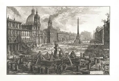
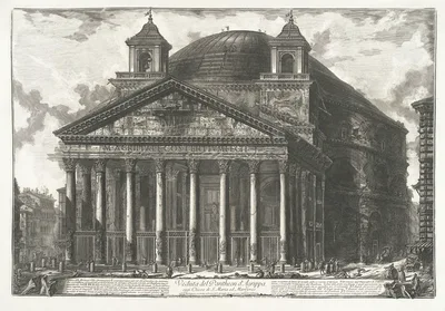
Nolli surveyed Rome in the same years that Giovanni Battista Piranesi began to etch it. If the map has given you a taste for the city on paper, his views are on Le Vedute di Roma.
Rome in the same years, by Piranesi
Questions
Can I order the Nolli map of Rome from Heritage Prints?
It is not in our catalogue, but it was made once as a commission. Write to us and we will tell you what is possible; a commission is made on request, with the price and delivery time agreed with you.
How big is Nolli’s map of Rome?
The twelve copper plates together measure 176 by 208 centimetres (69 by 82 inches). Re-Art printed it as twelve separate sheets, which the customer assembled.
Who was Giambattista Nolli?
An Italian architect and surveyor (1701 to 1756). He began surveying Rome in 1736 and published his Pianta Grande di Roma in 1748, the most accurate map of the city made until then.